My guide book suggested the path was somewhat contorted across Plymouth, i had soon lost it so reverted to compass and gestimation, (of course a street map would be the answer) twice heavy showers suddenly started and i was well lucky to be near shelter and most of the rain missed me.
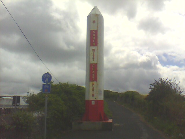
After some time and asking a post man i suddenly found my self back on course and passed the biggest marker post of the coast path.
I should mention the route could be greatly shortened by taking a second ferry , but i had decided to walk to the east end bridge which crosses towards Plymstock, when i achieved this i was surprised to pass a rhinoceros closely followed by a poetry wall.
Took on provisions at a supermarket and continued on course around various docks, boat repairs and general water front establishments, finally back on open coast line to jennycliff where i found a pot of tea and then found path closure section and had to use a road around this.
The walking remained easy to Wembury where the ferry had stopped two hours earlier, but luck again in getting directions to a camp site, the camp site was a good one and a half miles uphill from the coast but was basic and cheap, a small shop in the village is open early to late which is so handy for the hiker.


